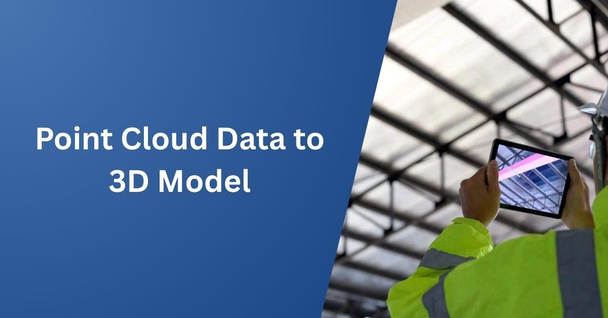
Point Cloud Data to 3D Model Services: Transforming Reality
In today's fast-paced construction, architectural, and engineering sectors, precision and speed are paramount. The demand for detailed, accurate, and efficient 3D modeling solutions has skyrocketed, and at the heart of this revolution is point cloud data. Captured using 3D laser scanners or photogrammetry, point cloud data provides a digital snapshot of a physical environment. However, raw point cloud data alone is not useful for design, planning, or construction workflows. That's where Point Cloud Data to 3D Model Services come into play.
These services transform raw point clouds into highly accurate 3D models, providing critical insights and digital replicas of real-world environments. In this blog, we’ll explore what these services entail, their benefits, the industries that rely on them, the technology behind the process, and how to choose the right service provider.
What is Point Cloud Data?
A point cloud is a collection of millions (or even billions) of 3D coordinates that represent the external surfaces of objects, buildings, or terrain. These data points are collected using LiDAR (Light Detection and Ranging), terrestrial laser scanners, drones, or photogrammetry-based tools.
Each point in the cloud contains spatial data (X, Y, Z coordinates) and sometimes color or intensity information. While highly detailed, this raw data is unstructured and difficult to interpret in its native format, which makes conversion into a usable 3D model essential.
What Are Point Cloud Data to 3D Model Services?
Point Cloud Data to 3D Model Services involve converting raw point cloud data into structured, editable 3D models using software such as Autodesk Revit, AutoCAD, SolidWorks, SketchUp, or Rhino. These models can be mesh-based, solid-based, or surface-based, depending on the application.
Types of Models Created:
-
3D Mesh Models – Used in visualization and animation.
-
Solid Models – Ideal for manufacturing, mechanical design, and BIM.
-
Surface Models – Suited for industrial design and reverse engineering.
-
BIM Models (LOD 100–LOD 500) – Used in architecture, construction, and facility management.
The Conversion Process: From Scan to Model
The workflow for converting point cloud data to 3D model services typically follows these steps:
1. Data Acquisition
Using 3D laser scanners or drones, professionals capture the real-world environment, producing a point cloud that represents physical spaces with millimeter accuracy.
2. Point Cloud Registration and Cleaning
Multiple scans are registered (aligned) into a unified coordinate system. Noise, overlapping points, and irrelevant objects (like moving people or vehicles) are removed to clean up the dataset.
3. Segmentation and Classification
Point clouds are segmented into logical components (walls, floors, piping, machinery) and classified based on their geometry.
4. Modeling in CAD or BIM Software
Using tools like Revit, AutoCAD, or SolidWorks, the point cloud data is used as a reference to create precise 3D models. The model can be parametric or non-parametric based on the project requirements.
5. Quality Control and Validation
The final model is cross-verified with the original point cloud data to ensure accuracy, typically within a few millimeters of deviation.
Applications Across Industries
Point cloud data to 3D model services have found widespread applications across various industries, each requiring tailored modeling solutions to meet specific needs.
-
Architecture and Construction: In architecture, point cloud data is invaluable for creating as-built documentation for renovation and retrofit projects.
These services help in accurate clash detection and coordination within BIM (Building Information Modeling) workflows, ensuring that design teams can identify potential issues before construction begins. Additionally, precise base models are created for design planning, providing a reliable foundation for architects and engineers to work from.
-
Engineering and Manufacturing: In the engineering and manufacturing sectors, point cloud data is used for reverse engineering of parts and equipment, ensuring that even legacy items can be accurately recreated or modified.
These models are also essential for quality inspection and dimensional analysis, where every millimeter counts. Furthermore, point cloud services assist in retrofitting and modifying existing machinery to improve efficiency or meet new regulatory standards.
-
Heritage and Cultural Preservation: For heritage and cultural preservation, point cloud data enables the 3D documentation of historic buildings and monuments. This precise digital capture allows for detailed restoration planning with geometric accuracy, ensuring that the integrity of these important structures is maintained during preservation efforts.
-
Oil & Gas and Industrial Facilities: In the oil, gas, and industrial sectors, point cloud data is crucial for modeling complex piping and MEP (Mechanical, Electrical, and Plumbing) systems.
It aids in plant documentation and redesign, ensuring that operations run smoothly with minimal disruptions. Additionally, point cloud models are used for safety and compliance audits, helping to identify potential hazards and ensure facilities meet regulatory standards.
-
Real Estate and Facility Management: In real estate and facility management, point cloud data helps create digital twins for space management, offering a virtual replica of a building’s interior that can be used for planning, renovations, and space optimization.
Virtual walkthroughs and asset monitoring capabilities also enhance building management by providing real-time insights into the condition and usage of assets, contributing to more effective facility operations.
Benefits of Point Cloud Data to 3D Model Services
Point cloud-based modeling delivers extremely accurate representations of real-world conditions, crucial for precision engineering and clash-free construction planning.
Laser scanning combined with rapid modeling reduces time spent on manual measurements and rework, significantly lowering project timelines and associated costs.
3D models derived from point cloud data provide stakeholders with a visual, interactive representation of spaces and structures, improving communication and planning.
These services form the backbone of BIM (Building Information Modeling), allowing for better collaboration, documentation, and lifecycle management of assets.
With a digital twin or as-built 3D model in hand, stakeholders can plan, inspect, and design remotely, minimizing travel and disruption.
Conclusion
Point cloud data to 3D model services are transforming the way we capture, understand, and design the built environment. Whether you're an architect seeking as-built models, an engineer planning retrofits, or a facility manager digitizing assets, these services offer the precision and reliability needed for success.
By converting raw scan data into intelligent 3D models, businesses can reduce costs, minimize risk, and gain a competitive edge in an increasingly digital landscape.
If you’re ready to embrace high-accuracy modeling, consider partnering with a trusted provider that specializes in turning point cloud data into powerful, purpose-driven 3D models.
Read more: Mmoexp CFB 25 Coins: Recruit Players with the Right Attributes


Share this page with your family and friends.